Posts

Showing posts with the label wayfinding

Biking On Route 55 to Odense

Image
The journey from Korinth to Odense felt like a regional, long-distance commute, and for the first time, I experienced the potential of what regional bicycle transportation can provide between communities. As mentioned in a previous post about recreational cycling in Denmark, I began the journey from Korinth taking a recreational bike trail route labeled L1. End to end, the route took about 8 kilometers (approximately 5 miles), delivering me to the town of Ringe. From Ringe, I biked through the town on my way to Bike Route 55, which would take me all the way to Odense. Along my ride through Ringe, I recognized several of the traffic calming designs where pedestrians can cross the road and also deliver bicyclists through the intersection (see image below).   After taking a few back roads while traveling through Ringe, a narrow bicycle lane delivered me to Bike Route 55. The distance from Ringe to Odense is approximately 23 kilometers (a little over 14 miles). For the past three days,...
Recreational Cycling in the Danish Countryside (Aero Island, Korinth, and Rail Trails)

Image
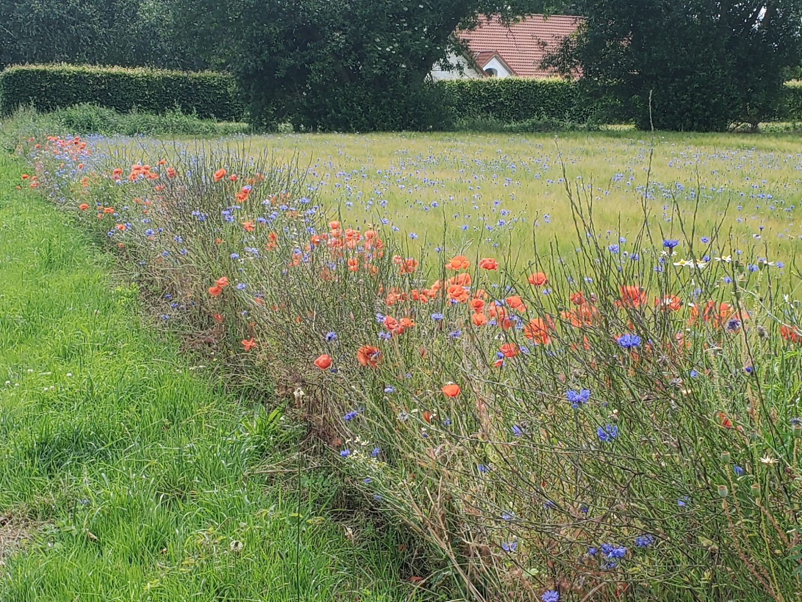
Following Copenhagen, the second leg of the four weeks abroad took our group to three smaller communities: Svendborg, Aero Island, and Korinth. We focused our activities on the recreational and tourism component of Denmark’s National Bicycle Strategy (henceforth in this post referenced as “The Strategy”). Six characteristics encompass what the Strategy determines as elements of effective recreational cycle routes: safety and security, tourism, service, comfort, signage, and meaningfulness. I noted aspects of each of these elements during the three days spent in these Danish communities, albeit in varying combinations and relationships to one another. Wildflowers along the bike route on Aero Island Notable during our day trip to Aero Island were aspects of signage, tourism, and for about half the trip, comfort. I will qualify “about half the trip” by noting I personally do not have much experience biking on gravel paths or traversing up and down steeper inclines as I experienced during ...

Biking on Aero Island: Recreational Biking

Image
Today, the group traveled to Aero Island. The task at hand: to complete an approximately 27 miles biking route around most of the island. The terrain varied from paved roads to gravel roads and included a brief stretch of dedicated bicycle lanes where the cars can travel at approximately 35 to 40 miles per hour. The trip felt like a recreational, cycling enthusiast ride, it allowed me to notice differences in biking infrastructure between a smaller community and what I observed while spending time in Copenhagen. A bicycle highway lane running alongside a road on Aero Island View from the ferry of a small Danish town First and most notably is the shared space between bicyclists and automobiles. I saw narrow bike lanes painted on the roads closest to the harbor district area where our ferry dropped us off. However, on most of the island, dedicated bike lanes were absent, and cars shared the road with bicyclists. This included both paved roads and gravel roads in the more remote areas of ...