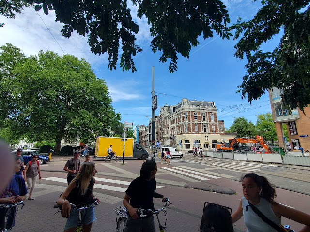
The journey from Korinth to Odense felt like a regional, long-distance commute, and for the first time, I experienced the potential of what regional bicycle transportation can provide between communities. As mentioned in a previous post about recreational cycling in Denmark, I began the journey from Korinth taking a recreational bike trail route labeled L1. End to end, the route took about 8 kilometers (approximately 5 miles), delivering me to the town of Ringe. From Ringe, I biked through the town on my way to Bike Route 55, which would take me all the way to Odense. Along my ride through Ringe, I recognized several of the traffic calming designs where pedestrians can cross the road and also deliver bicyclists through the intersection (see image below).
After taking a few back roads while traveling through Ringe, a narrow bicycle lane delivered me to Bike Route 55. The distance from Ringe to Odense is approximately 23 kilometers (a little over 14 miles). For the past three days, my directional wayfinding depended on a suite of resources including signage, cell phone apps, and staying in a group with my classmates. On this ride, I attempted to find my way biking solo relying solely on the wayfinding provided along the bike route. Short summary: mission accomplished! |
Blue paint extends the bicycle lane from the cycle track;
the pedestrian island functions also to slow traffic through the intersection |
Between intersections and roundabouts, the continuous cycle track or bicycle lane painted terracotta red guided me along my route, denoting where my space existed as a bicyclist separate from the highway. Though I had cars passing me, likely at a speed of around 35 - 40 mph, I felt well protected on the non-segregated bicycle lanes due to the ample space given in the lane. It allowed me to hug the right side, placing more distance between myself and the edge of the highway. Once I reached a point to change direction or was given several options for where to head next, clear signage with both words and arrows pointed me in the correct direction to ensure I still traveled north towards Odense.
 |
A sign pointing towards the turn
to take to head towards Odense |
 |
A look in the opposite direction (where I had just come from)
indicating the next destination along the bike route, Ringe |
Each step of the way, the clear signage and color patterns of blue and white communicated the correct turn to take, which intersections to continue straight through, and how much further my ride would be until I arrived in Odense. As I neared the city, I noticed the familiar biking infrastructure present in Copenhagen. However, I also spotted some variations that I had not yet seen. For example, about 3 or 4 miles from Odense, I biked along a cycle track where the concrete turned inward toward the cycle track, rather than forming a straight, raised edge to separate the cycle track from vehicular traffic.
 |
Cycle track where left edge turns inward, creating separation
between the track and car lane |
When I arrived in Odense, I saw that the entire ride had taken me just under two hours (account for about 15 minutes stopping to take photos). The time and distance bike impressed two takeaways for me about how regional biking networks can support and encourage more biking for transportation. First, if I lived about an hour or so from Odense and wanted to visit friends or family, on any decent day it is absolutely feasible to bike along this route to transport myself there. The entire time, I felt protected from car traffic, certain in the direction of travel, and a mostly flat terrain in which to bike. Secondly, noting the connections the route creates between communities, facilitating bicycle transportation between say, the communities of Havrevaenge and Lumbygyde, but also the communities surrounding the Odense city center, such as Neder Holluf and Killerup, providing a means of both bicycle transportation between communities and into the city center. This route and its integration in the regional bike network provides for bicycler commuters traveling for their jobs or procuring basic necessities and social riders that want to enjoy a bike ride and need to travel from their homes to a recreational route. In the United States, this kind of regional bicycle network would serve bicyclists well in our metropolitan regions, where the metropolis city, often in the geographic center of the region, can link suburbs with the city center and expand options for how people commute into the city and transport locally for groceries, medicine, healthcare appointments, and for socialization.
 |
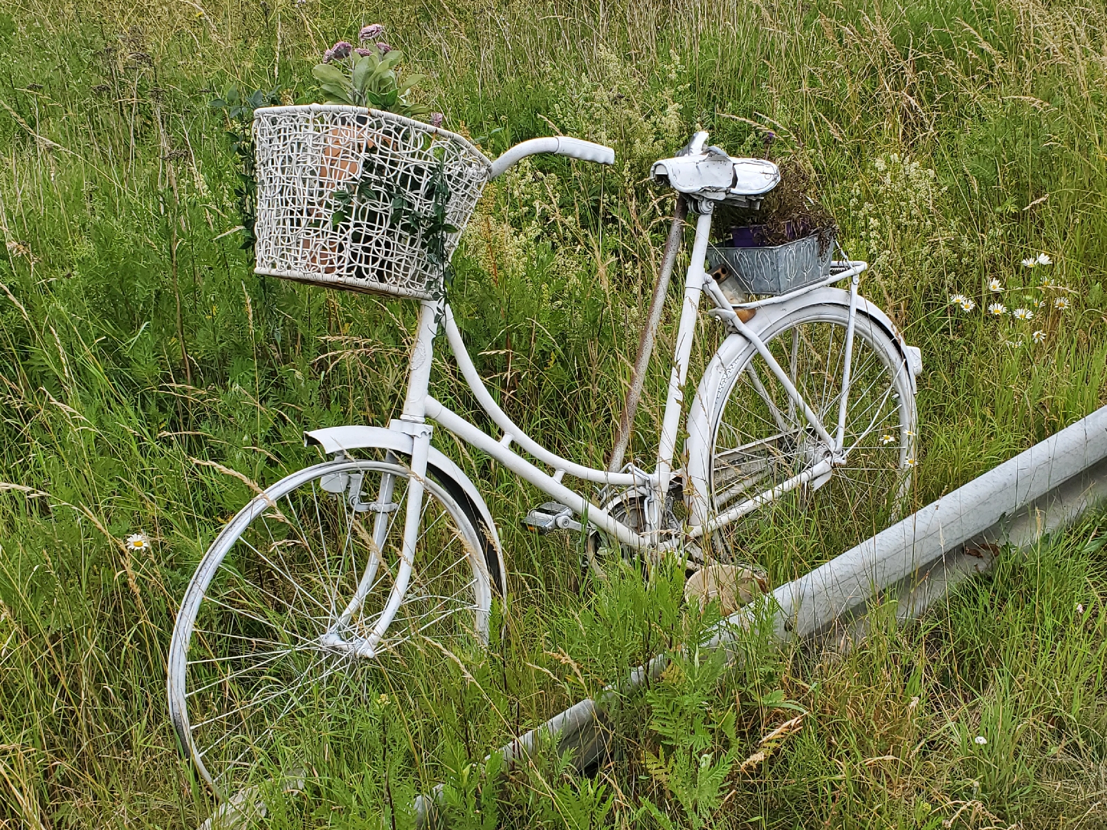
A ghost bike stands on the side of the bridge and cycle track
along Bike Route 55 memorializing a bicyclist that was killed |
In addition to the network design though, the infrastructure element and how it makes biking such a long-distance safer is so important to encourage the modal shift. I spotted a reminder of this need during my ride when I crossed a bridge over a freeway in the bike lane and spotted a "ghost bike" (see image to the left). This was not the first ghost bike I had seen. There is one in Eugene, Oregon, along the now protected 13th street bikeway at the corner of 13th and Williamette Avenue. Ghost bikes memorialize individuals who have been killed by being struck by a car. This ghost bike memorialized David Matthew Minor, who was struck and killed by a car at this intersection on the afternoon of June 2, 2008. A second ghost bike in Eugene stands at West 17th Avenue and Lincoln Street, memorializing Marcellus Tryk, who died in a crash a year after Minor's death on July 20, 2009. Statistically, bicyclists and pedestrians are among the most at-risk travelers in the U.S. If our society wishes to achieve a sustainable transportation system, which entails that it is safe, environmentally supportive rather than harmful, and it is equitable in its benefits to individuals within communities, the infrastructure and design of the transport network must ensure that the likelihood of a bicyclist being killed by a car is exceptionally low and rare. There is risk in anything we do and I do not believe that we can eliminate the potential for a fatal incident to 0 percent. But it can certainly become 1% or lower and it provides the same low risk for all demographics. Each ghost bike is a reminder of this essential component and why we must push for a reconceptualization of the transportation network, and not lose ourselves in passionate advocacy for bike-only solutions and ideas.


Comments
Post a Comment